Latitude & Longitude Explained — WGS84, DMS Notation, and Precision
What latitude and longitude really are, the difference between DMS and decimal degrees, accuracy by decimal places, and the WGS84 coordinate system that powers GPS.
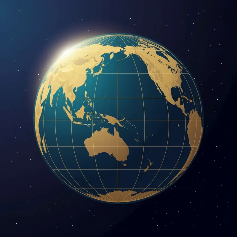
🌐 "37.5172, 126.9389" — do you know where these numbers point to? Latitude and longitude let you pinpoint any spot on Earth using just two numbers — a global standard coordinate system. GPS, map apps, food delivery, car navigation: every location service we use daily runs on these two numbers. This post covers the basics of latitude and longitude, the DMS vs decimal-degrees notation, accuracy by decimal places, and the WGS84 coordinate system that underlies it all.
🌐 What Are Latitude and Longitude?
The Earth is roughly spherical, so any point on its surface can be uniquely identified by two angles.
- Latitude: The angle north(+) or south(−) of the equator (0°). Range: −90° to +90°.
- Longitude: The angle east(+) or west(−) of the Prime Meridian (0°, passing through the Royal Greenwich Observatory in England). Range: −180° to +180°.
Reference Coordinates
| Location | Latitude | Longitude |
|---|---|---|
| Equator | 0° | — |
| North Pole | +90° | — |
| South Pole | −90° | — |
| Prime Meridian | — | 0° |
| Date Line | — | ±180° |
| Seoul City Hall | 37.5666° | 126.9784° |
| Tokyo Metropolitan Gov | 35.6895° | 139.6917° |
| New York Times Square | 40.7580° | −73.9855° |
Easy mnemonic: Latitude = "Y axis (vertical)", Longitude = "X axis (horizontal)". South Korea sits roughly at latitude 33–38° and longitude 124–131°.
📐 Notation 1: Degrees-Minutes-Seconds (DMS)
Since latitude and longitude are angles, you can express them as 1° = 60' (minutes) and 1' = 60" (seconds).
37° 31' 1.92" N, 126° 56' 22.20" E
37° 31' 1.92" N: 37 degrees, 31 minutes, 1.92 seconds north126° 56' 22.20" E: 126 degrees, 56 minutes, 22.20 seconds east
Pros: Traditional notation in GPS receivers, navigation, military, and aviation documents. Cons: Awkward to compute by hand (base 60), needs conversion to decimal for software.

📐 Notation 2: Decimal Degrees (DD)
37.5172°, 126.9395°
A single decimal number. Modern systems (Google Maps, GPS APIs, databases) almost universally use DD.
DMS → DD Conversion
DD = Degrees + Minutes/60 + Seconds/3600
Example: 37° 31' 1.92" → 37 + 31÷60 + 1.92÷3600 = 37.51720°
FindLatLng uses DD only — the "Latitude" and "Longitude" in coordinate search results are decimal degrees. So is Google Maps URLs, the Kakao Map API, and mobile GPS.
🎯 Precision by Decimal Places

In DD notation, the number of decimal places sets the precision. Using 1° latitude ≈ 111 km:
| Decimals | Example | Lat error | Meaning / use case |
|---|---|---|---|
| 1 | 37.5° | ~11 km | City-level |
| 2 | 37.51° | ~1.1 km | District / neighborhood |
| 3 | 37.517° | ~111 m | Building cluster |
| 4 | 37.5172° | ~11 m | Building (typical GPS accuracy) |
| 5 | 37.51720° | ~1.1 m | Detailed location (home address, vehicle) |
| 6 | 37.517202° | ~11 cm | Surveying / autonomous driving (usually overkill) |
| 7 | 37.5172025° | ~1.1 cm | Precision surveying |
| 8+ | 37.51720253° | < 1 cm | RTK GPS (military / surveying only) |
Typical decimal places by system
- Google Maps URLs: 7 digits (e.g., 37.5172025)
- Kakao Map API: 6–7 digits
- Consumer mobile GPS: 5–6 digits (real-world accuracy ceiling ~5 m)
- Database geo column: 6–8 digits (storage standard)
- User input / sharing: 4–6 digits is plenty (error under ~10 m)
Excessive precision is meaningless: If your phone's GPS is accurate to ±5 m, storing 8 decimals (±1 mm) just records noise below the 7th digit. 6 digits is enough for general services.
🌍 What Is WGS84, Then?
Latitude and longitude alone are abstract angles. The coordinate reference system defines what those angles are measured relative to.
WGS84 (World Geodetic System 1984)
- A global standard geodetic system defined by the U.S. Department of Defense in 1984 for GPS
- Models the Earth as a reference ellipsoid (semi-major axis 6,378,137 m, flattening 1/298.257223563)
- GPS satellites broadcast coordinates in WGS84
- Google Maps, Apple Maps, OpenStreetMap, Kakao Map, Naver Map — virtually every modern map service uses WGS84
Are There Other Coordinate Systems?
| System | Use case |
|---|---|
| WGS84 (EPSG:4326) | Global standard (maps, GPS) — used 99% of the time |
| Web Mercator (EPSG:3857) | Google Maps display tiles |
| TM Central Origin (EPSG:5186) | Korean national surveying (cadastral, urban planning) |
| UTM 52N | Korean military / aviation |
| KATEC | Older Korean GIS / some legacy navigation |
For most users, WGS84 is all you need to know. FindLatLng returns coordinates in WGS84 (EPSG:4326). Converting to other systems requires GIS tools (QGIS, proj4, etc.).
💬 FAQ
Q. Latitude or longitude first?
Map coordinates are typically written "latitude, longitude" (e.g., 37.5172, 126.9389). Google Maps @lat,lng,... URLs follow this.
GeoJSON and some GIS standards use the opposite order — [longitude, latitude] — so be careful.
Q. What about negative coordinates?
- Negative latitude: Southern Hemisphere (Sydney −33.86°, Rio de Janeiro −22.91°)
- Negative longitude: West of the Prime Meridian (New York −73.99°, Los Angeles −118.24°)
Q. Why is Korea at longitude 124–131°? Korea sits in East Asia, about 130° east of the Prime Meridian (England). Japan ranges 130–146°, China spans 73–135°.
Q. Is 1° always 111 km?1° latitude is always ~111 km anywhere (Earth's circumference 40,007 km ÷ 360°). 1° longitude varies with latitude: ~111 km at the equator, ~55.5 km at 60° latitude, 0 km at the poles. At 37.5° (Seoul), it's about 88 km.
📝 Wrap-Up
- Latitude/longitude = a global standard for pinpointing any spot on Earth
- Two notations: DMS (
37° 31' 1.92") and DD (37.5172) — modern systems use DD - Decimal places set the precision: 6 digits is plenty for general services
- WGS84 = effectively the only standard for GPS and maps (EPSG:4326)
- Other systems (TM, UTM, KATEC) appear mostly in surveying and government
Convert addresses to coordinates, or pick a point on the map! FindLatLng — Lat/Lng Finder →
📚 References & Further Reading
- Wikipedia — World Geodetic System (WGS84)
- Wikipedia — Latitude · Longitude
- NGA — WGS-84 Implementation Manual
- EPSG.io — coordinate system 4326 (WGS84)
- proj4 / PROJ — coordinate transformation library
- Wikipedia — Decimal degrees & precision
- Related — Horizontal coordinate guide
- Related — WGS84 vs KATEC Conversion Guide: Convert Korean plane coordinates (KATEC/TM/UTM-K) to WGS84
- Related — Kakao Map vs Google Maps coordinates: Why the same location shows different lat/lng across providers